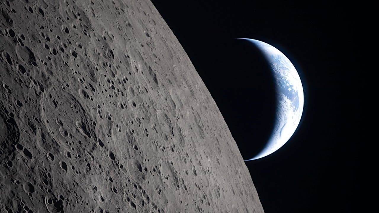

NASA's Lunar Reconnaissance Orbiter continues to deliver remarkable scientific imagery from its extended mission in lunar orbit, with a striking photograph of an unnamed crater selected as the agency's Science Image of the Month for March 2026. The image, captured on August 30, 2023, by the Lunar Reconnaissance Orbiter Camera (LROC) system, showcases early morning sunlight illuminating the western wall of the crater while casting deep shadows across the lunar surface and crater interior—a photographic technique that reveals topographical detail and geological structure with exceptional clarity. This latest achievement underscores the enduring scientific value of the LRO mission, which has maintained continuous operations around the Moon for more than 17 years since its launch in June 2009, fundamentally transforming humanity's understanding of the lunar environment and laying critical groundwork for future robotic and crewed exploration initiatives.
Understanding the Lunar Reconnaissance Orbiter's Extended Mission and Scientific Instruments
The Lunar Reconnaissance Orbiter represents one of NASA's most successful and long-lived planetary science missions, far exceeding its original operational timeline and continuing to generate invaluable data about the Moon's geology, topography, and radiation environment. The spacecraft carries seven sophisticated scientific instruments, with the Lunar Reconnaissance Orbiter Camera system—comprising three individual cameras with complementary capabilities—serving as one of the mission's most productive tools for capturing detailed surface imagery. LROC's multi-camera design enables the acquisition of high-resolution panchromatic images alongside multispectral color data, allowing scientists to analyze both the physical structure and compositional characteristics of lunar features with unprecedented precision. Since its deployment in lunar orbit in June 2009, the LRO mission has systematically mapped the entire lunar surface, producing imagery that reveals crater morphology, boulder distributions, layered deposits, and other geological features invisible to ground-based telescopes or earlier orbital missions.
How LRO's Primary Mission Objectives Shape Current Lunar Science Operations
The Lunar Reconnaissance Orbiter's original mission design, established during the early 2000s as NASA developed its Vision for Space Exploration, established three primary scientific objectives that continue to guide operations today. The first priority involved creating a comprehensive three-dimensional map of the lunar surface with sufficient resolution and accuracy to identify suitable landing sites for future robotic landers and human exploration missions. This objective proved particularly important given NASA's commitment at the time to establishing sustainable lunar presence, requiring detailed knowledge of terrain hazards, slope angles, and surface roughness that could affect landing vehicle operations. The second major objective centered on identifying and characterizing lunar resources, particularly water ice deposits concentrated in permanently shadowed craters near the lunar poles—resources that could support long-duration human missions by providing water for drinking, oxygen production, and rocket fuel manufacturing. The third priority involved measuring the lunar radiation environment, including galactic cosmic rays and solar particle events, to assess potential health risks for future astronauts and inform spacecraft shielding requirements for long-term lunar operations.
Milestone Achievements in Lunar Mapping and High-Resolution Surface Imaging
Creation of the Highest-Resolution Lunar Topographical Map
In 2011, data accumulated from the Lunar Reconnaissance Orbiter enabled NASA scientists and their international collaborators to produce the highest-resolution, near-topographical map of the Moon ever created. This achievement represented a watershed moment in lunar science, providing researchers with detailed elevation data across the entire lunar surface at spatial resolutions previously unattainable. The map incorporated measurements from multiple LRO instruments, including the Lunar Orbiter Laser Altimeter (LOLA), which uses laser pulses to measure surface elevation with meter-level precision across millions of measurement points. Scientists utilized this elevation data to create digital terrain models that reveal subtle topographic variations, allowing researchers to identify ancient volcanic features, impact basin structures, and other geological formations that inform understanding of the Moon's geological history and evolution.
Interactive Polar Mapping and Arctic Lunar Exploration Focus
Building on the success of comprehensive global mapping, NASA published an interactive mosaic of the lunar North Pole in 2014, focusing scientific attention on one of the most geologically and scientifically significant regions on the Moon. The polar regions have emerged as primary targets for future lunar exploration because permanently shadowed craters in these areas may contain water ice and other volatile compounds preserved over billions of years. The interactive mosaic allowed scientists, mission planners, and the public to explore the North Polar region in detail, examining crater features, scarps, and other topographic elements that could influence future landing site selection and resource utilization strategies. This polar focus has intensified in recent years as NASA and international space agencies have prioritized the establishment of sustained lunar presence near the poles as a stepping stone toward deep space exploration and eventual human missions to Mars.
Documentation of Historic Apollo Landing Sites and International Achievements
Among the Lunar Reconnaissance Orbiter's most compelling scientific contributions has been the acquisition of high-resolution photographs documenting the landing sites of NASA's Apollo missions and other historic lunar exploration achievements. These images provide unprecedented detail of the Apollo hardware remaining on the lunar surface, including lunar modules, rovers, experiments packages, and other equipment deployed during the six successful human landings between 1969 and 1972. The imagery has allowed scientists to assess the long-term preservation of hardware in the harsh lunar environment, characterized by extreme temperature variations, micrometeorite bombardment, and intense solar radiation. Beyond historical documentation, these images serve important scientific purposes by constraining models of lunar surface processes and providing ground-truth calibration points for understanding how the lunar surface evolves over decades. The LRO photographs have also captured evidence of human and robotic activity at these sites, including footprints, equipment imprints, and disturbed regolith, offering insights into surface properties and processes relevant to future exploration planning.
Technological Innovation: First Laser Communication Demonstration with Lunar Satellite
Beyond its primary mapping and imaging objectives, the Lunar Reconnaissance Orbiter has served as a testbed for advanced technologies that could enhance future space exploration capabilities. Most notably, LRO conducted the first-ever demonstration of laser communication with a lunar satellite, establishing two-way optical communication links that transmitted data at rates substantially exceeding those achievable with conventional radio frequency systems. This technological milestone proved that laser communication—which offers higher bandwidth capacity, lower power consumption, and reduced signal interference compared to traditional radio systems—could function reliably across the Earth-Moon distance of approximately 380,000 kilometers. The successful demonstration has informed development of next-generation communication systems for future lunar missions, deep space exploration, and potential applications in Earth orbit. Laser communication technology offers particular advantages for data-intensive missions requiring transmission of high-resolution imagery, scientific datasets, and real-time video feeds from distant spacecraft, making it an essential capability for ambitious exploration initiatives planned for the coming decades.
The Significance of August 2023 Crater Imagery and NASA's Science Image Recognition Program
The August 30, 2023, photograph of the unnamed crater selected as NASA's Science Image of the Month for March 2026 exemplifies the continued scientific value of the Lunar Reconnaissance Orbiter's extended mission operations. The image demonstrates how careful timing of observations—capturing the crater at early morning lunar local time when the Sun sits low on the horizon—maximizes topographic contrast and reveals subtle surface features that might remain obscured under high-angle illumination. The deep shadows cast within the crater interior provide information about crater depth, wall angles, and internal structure, while the illuminated western wall reveals details of impact-related fracturing, layering, and erosional processes. NASA's Science Mission Directorate designation of this image as the monthly featured photograph reflects the agency's commitment to sharing compelling scientific imagery with the public while highlighting the ongoing contributions of the LRO mission to lunar science. Each month, the Science Mission Directorate selects an image from its portfolio of active missions, offering desktop wallpaper downloads, educational resources, and links to related scientific topics, activities, and games designed to engage diverse audiences in space exploration and planetary science.
Implications for Future Lunar Exploration and Long-Term Scientific Legacy
As the Lunar Reconnaissance Orbiter enters its eighteenth year of operations, the mission's accumulated dataset continues to support planning for the next generation of lunar exploration initiatives. NASA's Artemis program, which aims to return humans to the Moon and establish sustainable presence near the lunar South Pole, relies heavily on LRO data to identify landing sites, assess radiation hazards, and plan resource utilization strategies. International space agencies, including those of China, India, and the European Space Agency, also utilize LRO imagery and data products for planning their own lunar missions and scientific investigations. The mission's extended operational timeline—far exceeding the original five-year primary mission—demonstrates the value of designing robust spacecraft with redundant systems capable of sustained long-term operations in the challenging lunar environment. As NASA and international partners continue advancing lunar exploration capabilities, the Lunar Reconnaissance Orbiter will remain an essential tool for acquiring updated imagery, monitoring changes in the lunar environment, and supporting real-time mission operations for future landing attempts and surface exploration activities. The mission exemplifies how sustained investment in space exploration infrastructure yields dividends across decades, enabling scientific discoveries and technological innovations that fundamentally advance human understanding of the Moon and its potential role in deep space exploration.
- NASA's Lunar Reconnaissance Orbiter has maintained continuous operations in lunar orbit for over 17 years since its June 2009 launch, far exceeding original mission duration expectations
- The LRO mission produced the highest-resolution topographical map of the Moon in 2011 and published an interactive North Polar mosaic in 2014, fundamentally advancing lunar science capabilities
- LROC's multi-camera system has documented historic Apollo landing sites and captured unprecedented high-resolution imagery of lunar surface features, including the August 2023 crater photograph recognized as NASA's Science Image of the Month
- LRO conducted the first successful laser communication demonstration with a lunar satellite, establishing technology standards for future deep space exploration missions
- Data from the Lunar Reconnaissance Orbiter directly supports NASA's Artemis program and international lunar exploration initiatives by identifying landing sites, assessing radiation environments, and characterizing potential water ice resources
Frequently Asked Questions
- What is the Lunar Reconnaissance Orbiter and what are its primary scientific objectives?
- The Lunar Reconnaissance Orbiter is a NASA spacecraft launched in June 2009 that continues orbiting the Moon to accomplish three primary objectives: creating a comprehensive three-dimensional map of the lunar surface to identify future landing sites, identifying and characterizing lunar resources such as water ice deposits near the poles, and measuring the radiation environment to assess risks for future astronauts. The mission has far exceeded its original five-year timeline and remains scientifically productive today.
- How does the Lunar Reconnaissance Orbiter Camera system capture high-resolution Moon images?
- The LROC system comprises three individual cameras with complementary capabilities that acquire both high-resolution panchromatic imagery and multispectral color data of the lunar surface. By timing observations during early morning or late afternoon lunar local time when the Sun sits low on the horizon, LROC maximizes topographic contrast and reveals subtle surface features that reveal crater structure, geological layering, and impact-related fracturing.
- How does LRO data support future lunar exploration missions like NASA's Artemis program?
- The Lunar Reconnaissance Orbiter's detailed imagery and topographical data directly support NASA's Artemis program by identifying suitable landing sites near the lunar South Pole, assessing radiation hazards, and characterizing potential water ice resources that could support long-duration human missions. LRO data also helps international space agencies plan their own lunar exploration initiatives and enables real-time mission operations for future landing attempts.